

Airport Information
Tulsa Riverside Airport (KRVS)
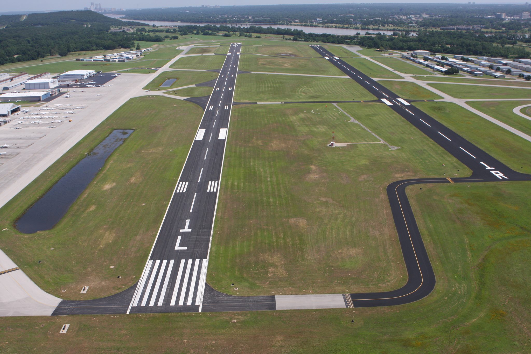
Tulsa Riverside Airport (RVS) opened July 3, 1958, in southwest Tulsa to serve as a reliever airport for Tulsa International Airport. At that time, this 752-acre facility had a single 4,000-foot (1,200 m) long runway, an aircraft ramp, and one concrete building.
Since then, the airport has grown to become a hub of business and economic activity for the Tulsa region. It now includes three runways, over two hundred commercial and private hangars, and over 500 based aircraft.
RVS is home to 350 employees, generating an annual economic output of $95 million. Aircraft operations (takeoffs / landings) totaled 199,880 in 2018, making RVS the busiest airport in the state and one of the top 60 busiest airports in the nation. Six flight schools along with over 500 based aircraft contribute to this high level of operations.